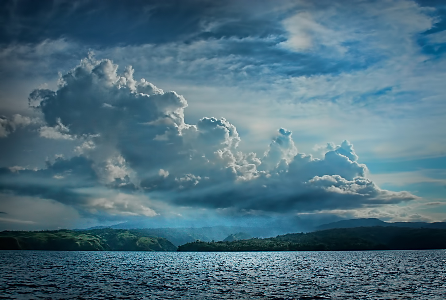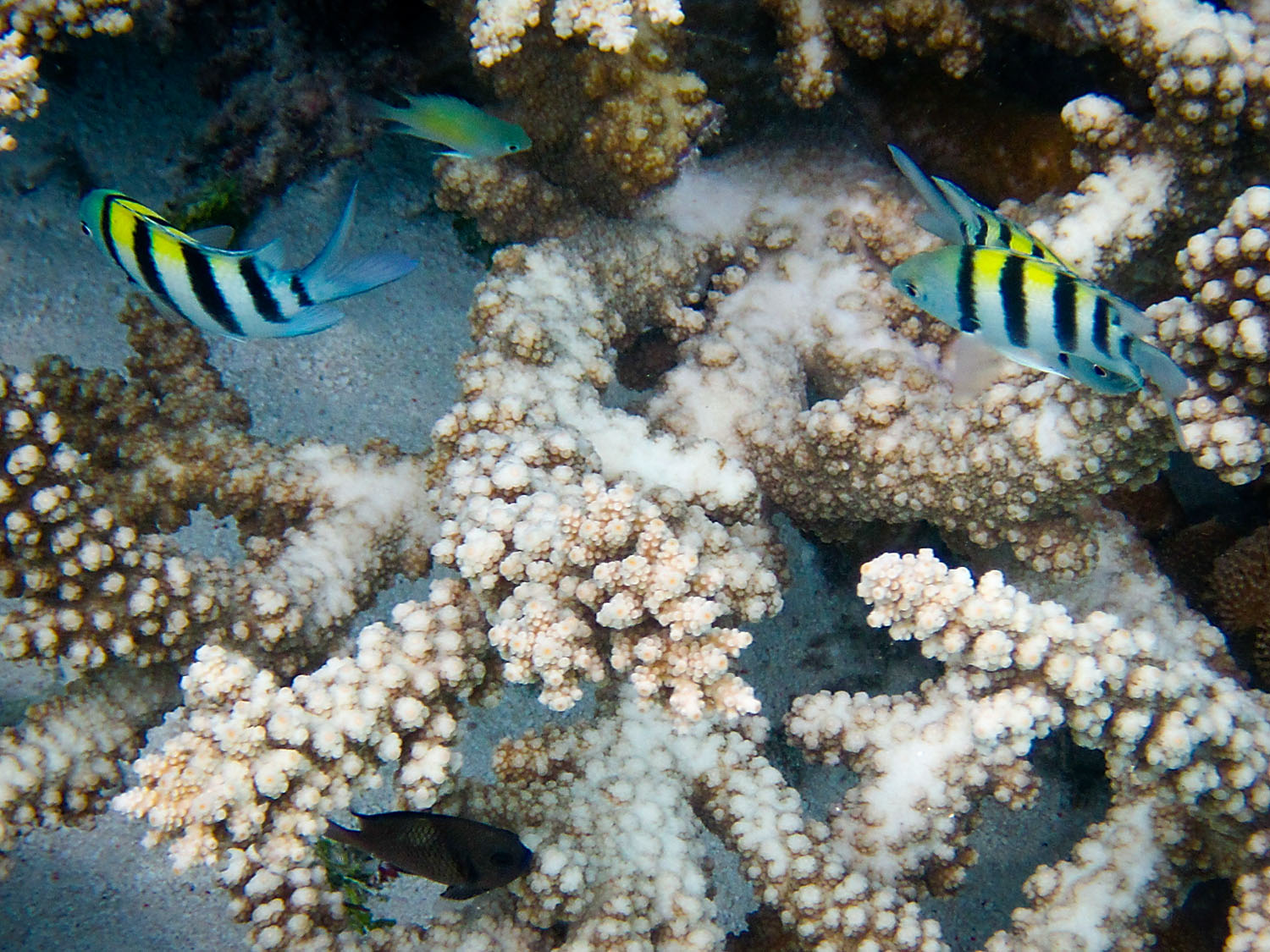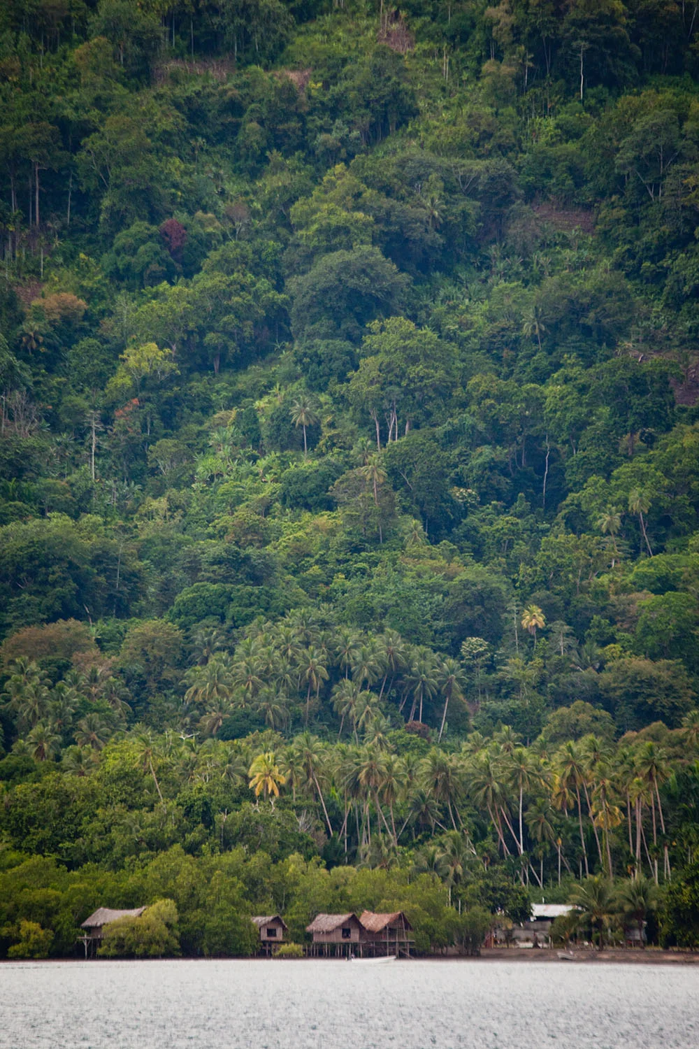


Tami Islands
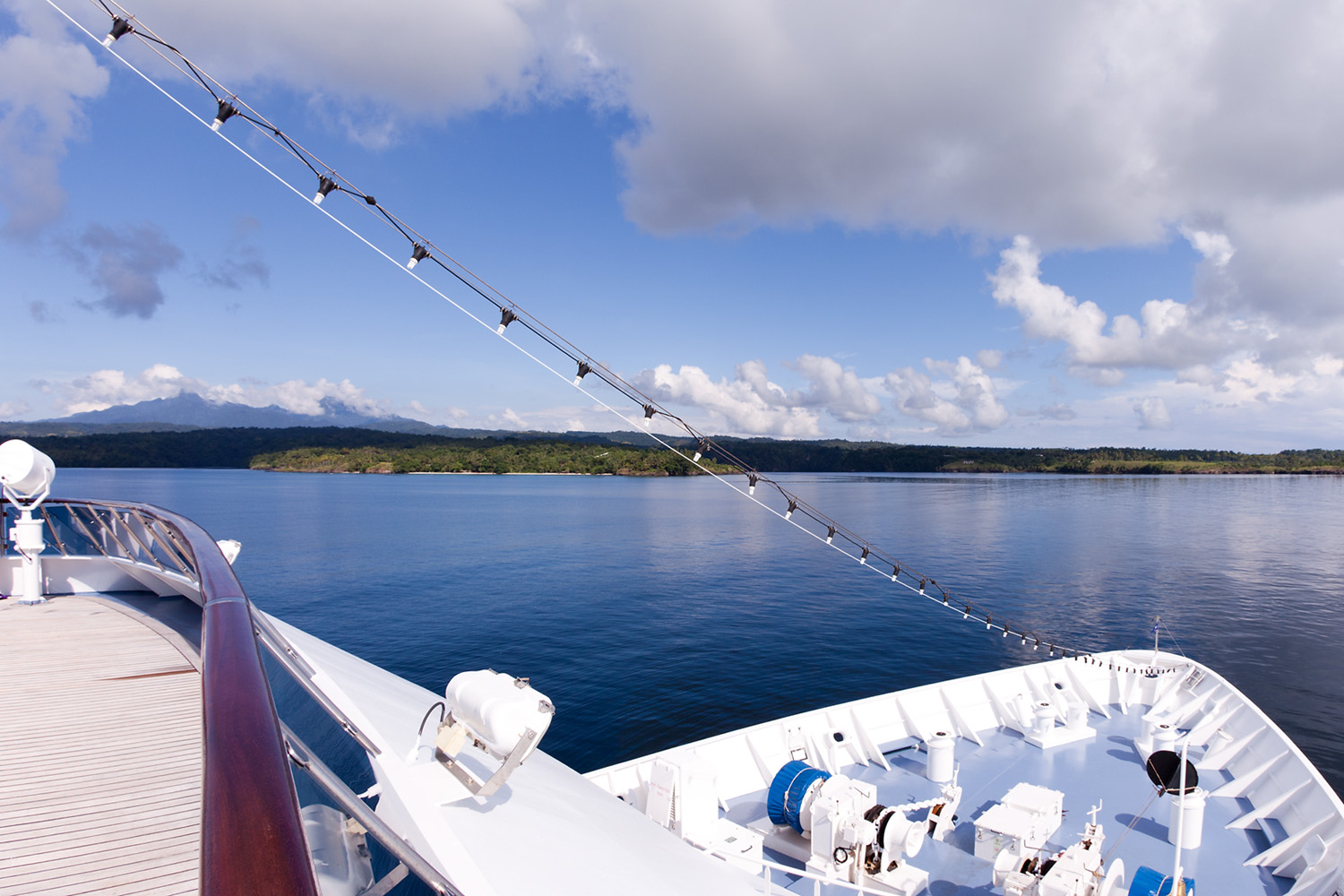
Overnight we have travelled north from Tufi and have have arrived quite early, 07:30, at the Tami Islands.
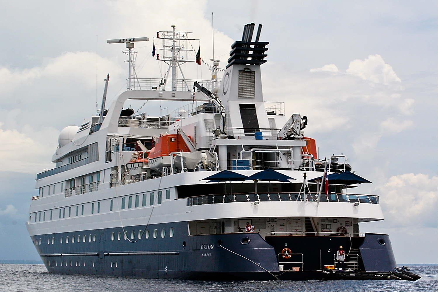
The Orion anchored off Tami
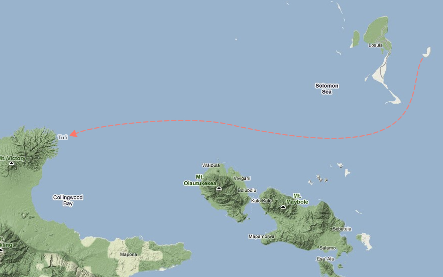
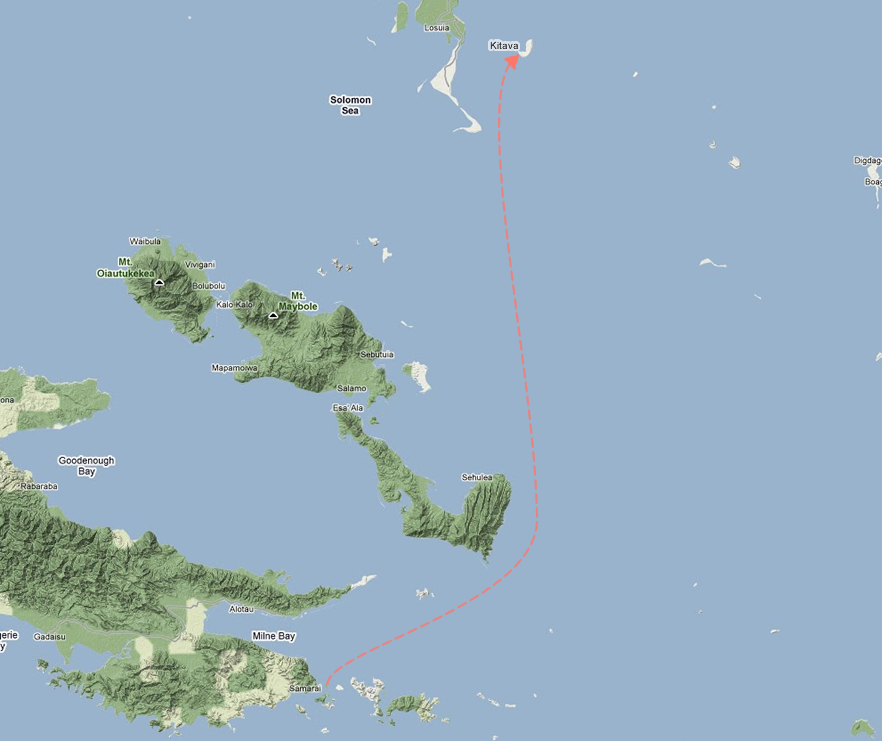
Map of the region showing our heading - Google map linkToday we will be doing a wet landing at one of the islands for a welcoming ceremony, a chance to meet the villagers and the opportunity to take a walk through the village.
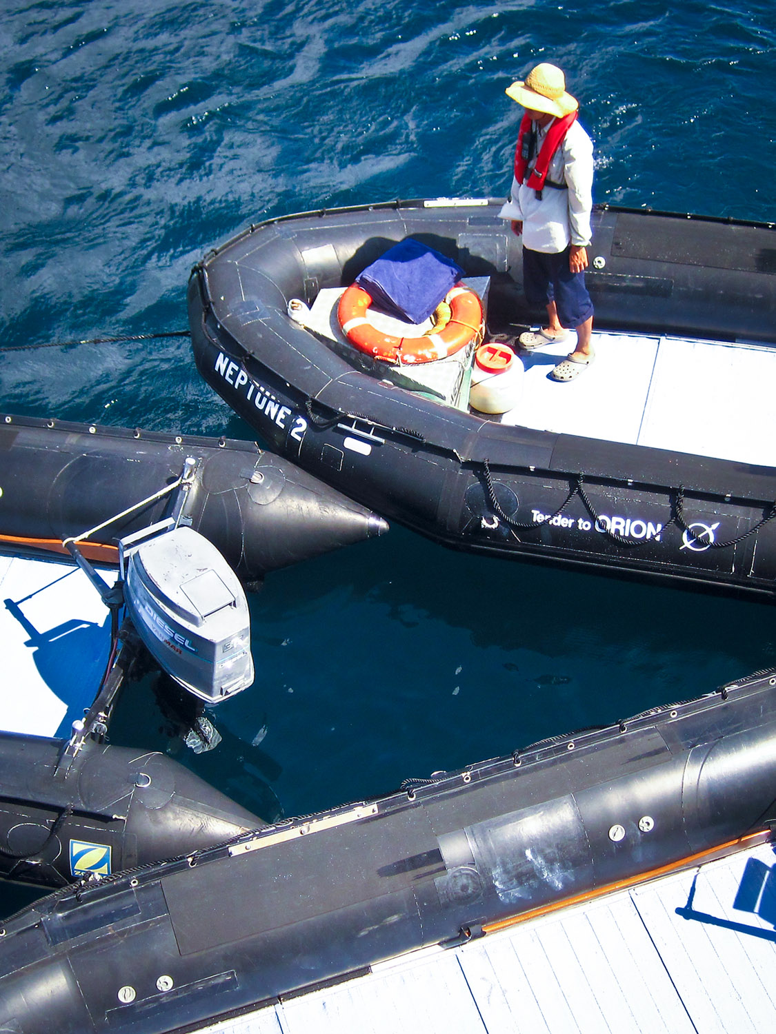
After breakfast, at around 09:00 ,we assemble in the Delphinus Café for our zodiac ride ashore. As in other landings like this we must all arrive at the same time, or within a few minutes of each other.
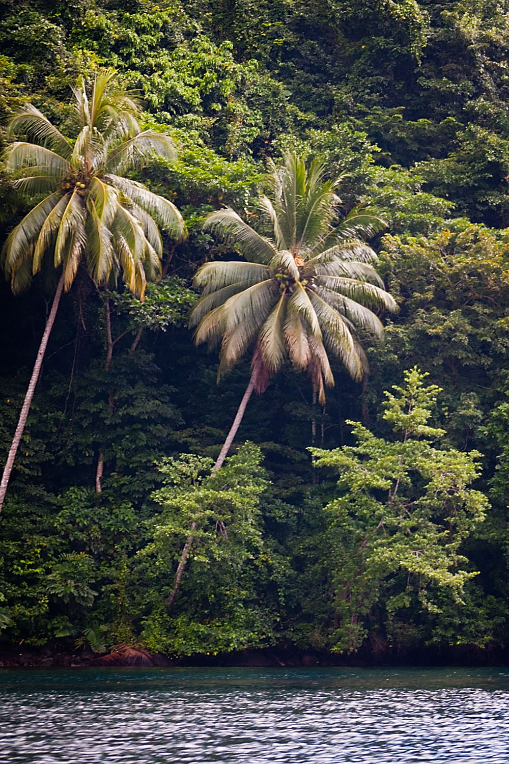
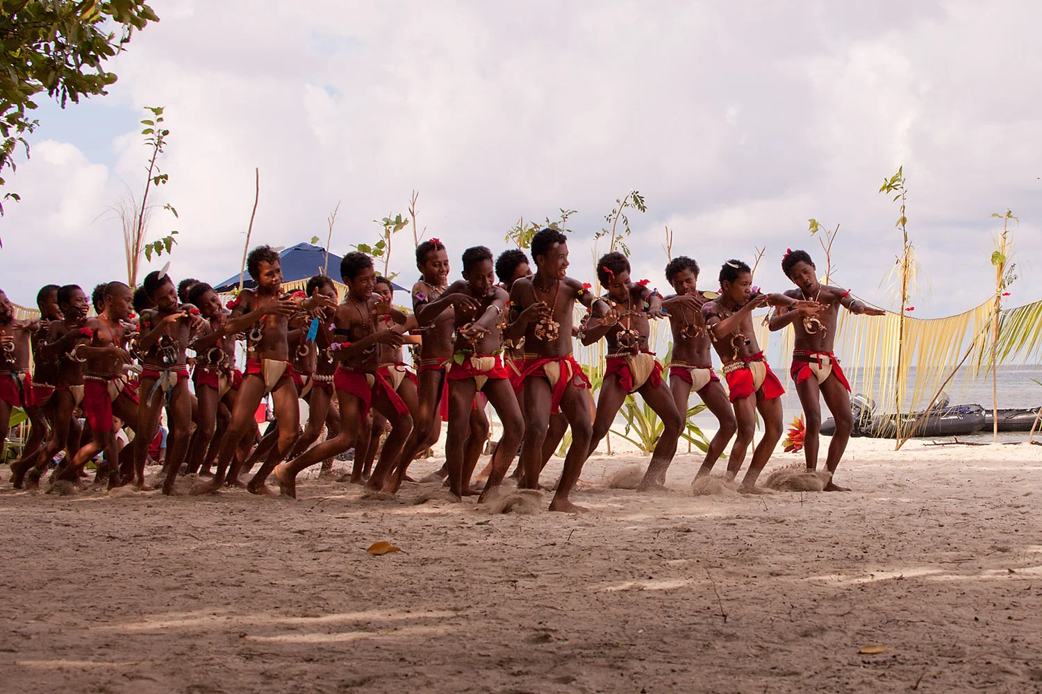
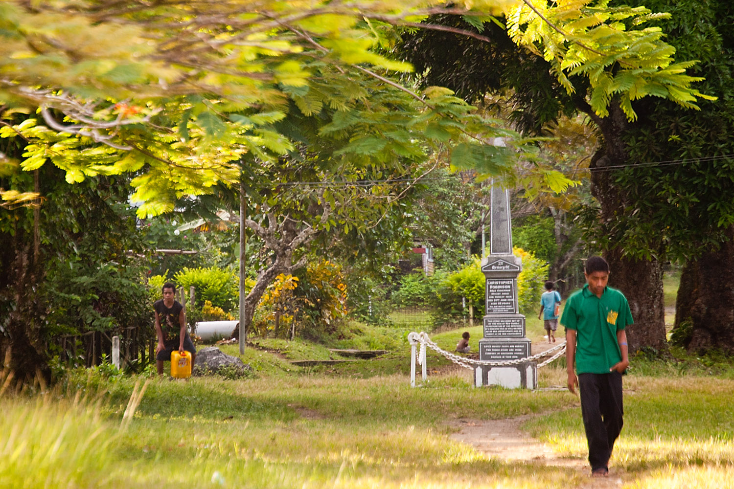
We make our way to the shore and then walk from the beach about 500 metres into a large clearing in the village. There is a shaded area with bench seating and an esky or two full of bottles of cold water. It’s only early but the sun is high and it’s already very hot.From the bush we can hear the sound of drums and into the clearing come a large group of men and women dancing and singing.
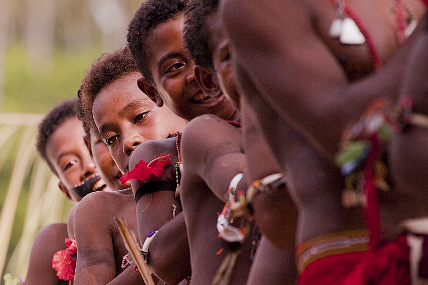
Welcome CeremonyAs in other welcomes the performance is fantastic, with rhythmic drumming and the movement of headdress, grass skirts and feathers combining to create a visually rich experience for all of us.
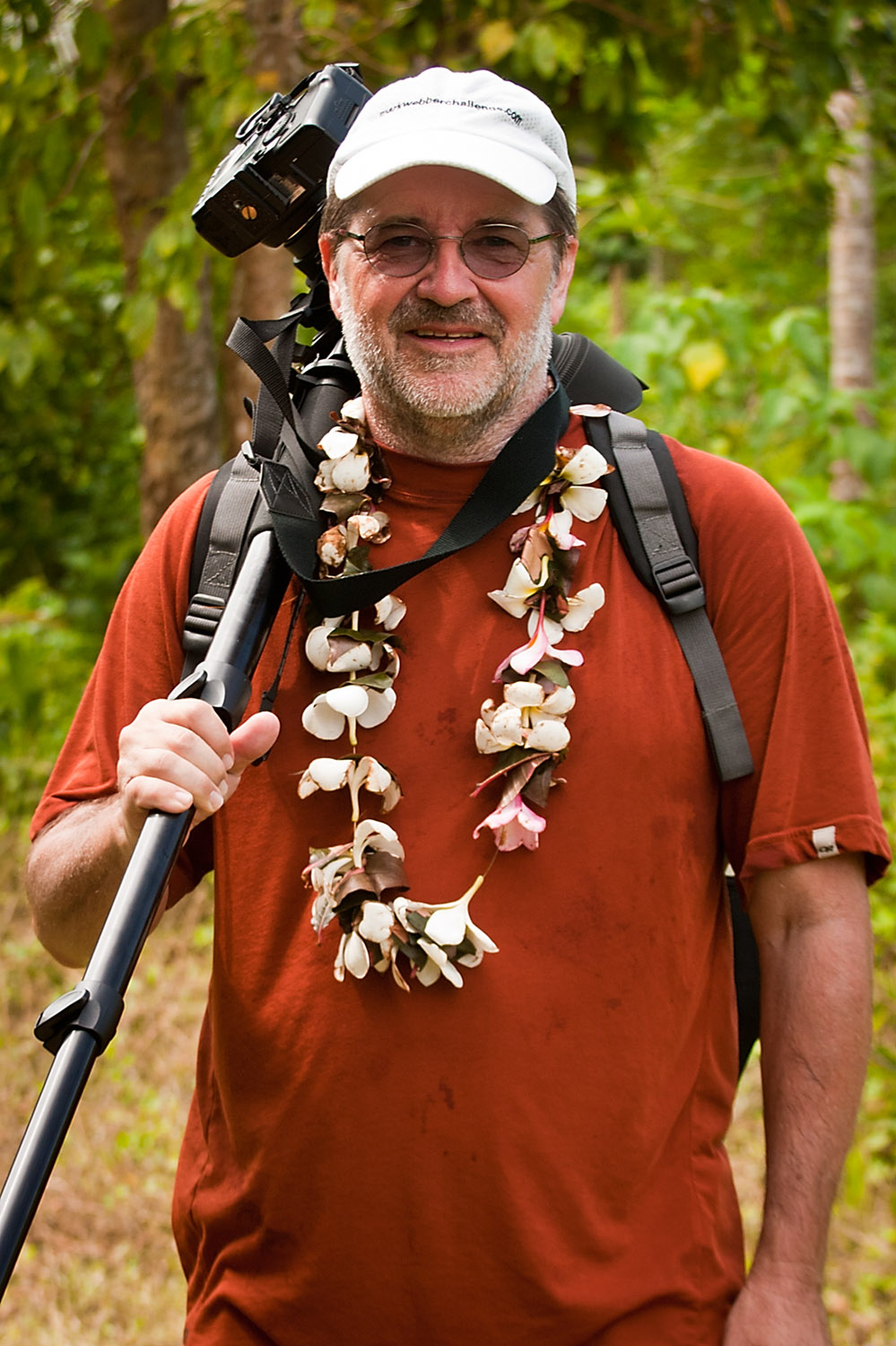
The performers make their way from the jungle further into the clearing. Peter and Nick take full advantage of the welcome to film and photograph the performers.
Peter and Nick
After the initial welcome one of the young women, beautiful in her traditional costume, comes forward from the group to address us and formally welcome us to the island.Welcome speech
After the speech, the drummers were back and the performance really began.
Drummer Man
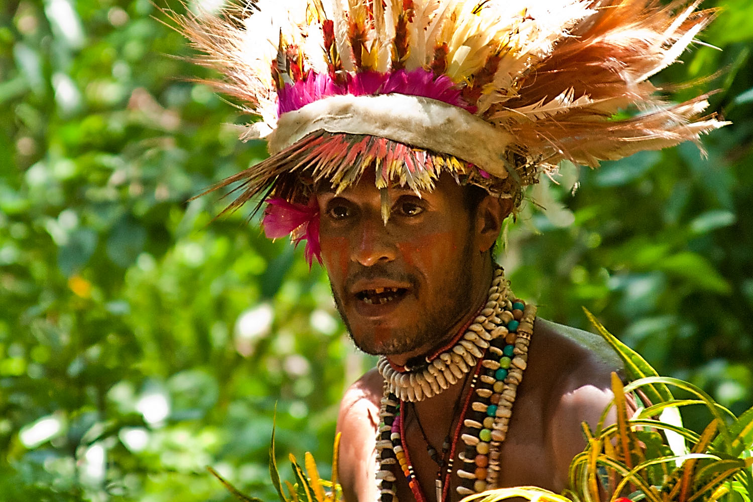
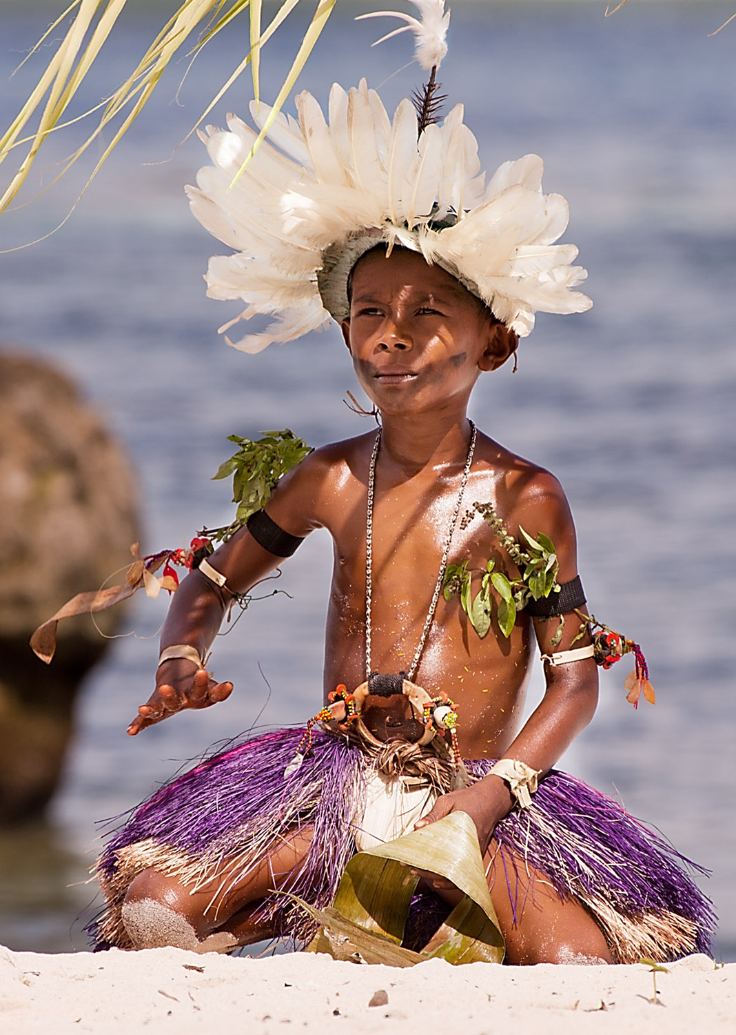
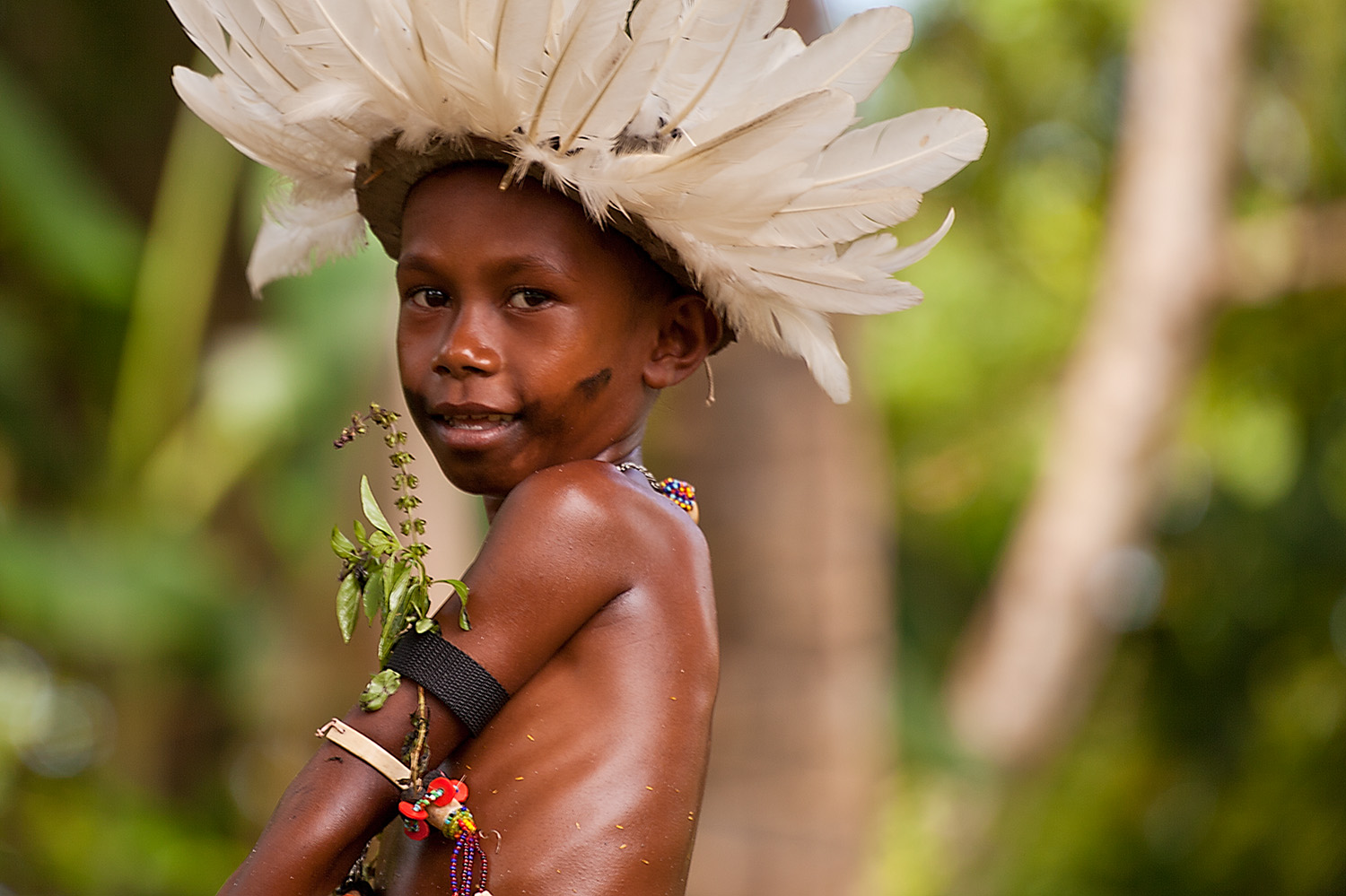
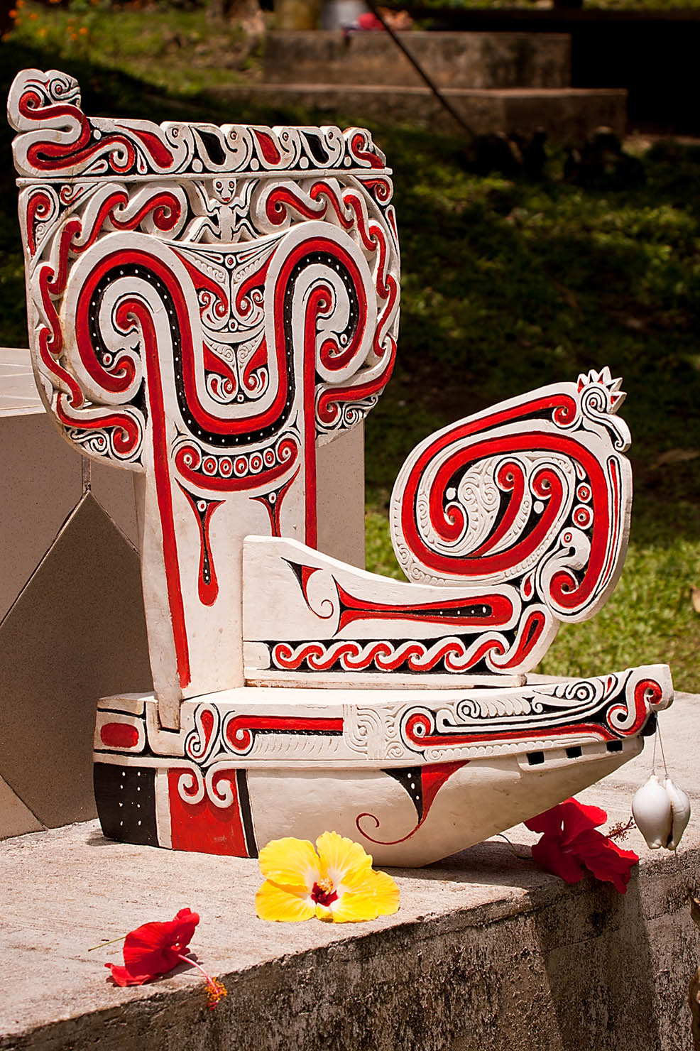
One of the most fascinating features of their costumes were the large and distinctive headgear they wore. I was interested in the symbolism of it and found out that they represented the Eagle. Once I knew that it was easy to see the shape of the eagle’s tail, wings and head.Eagles symbolised in the HeaddressIt’s been amazing to see the different ornaments and adornments the dancers and singers wear and the colors of the skirts and flowers make the opportunity to experience these welcomes unique.
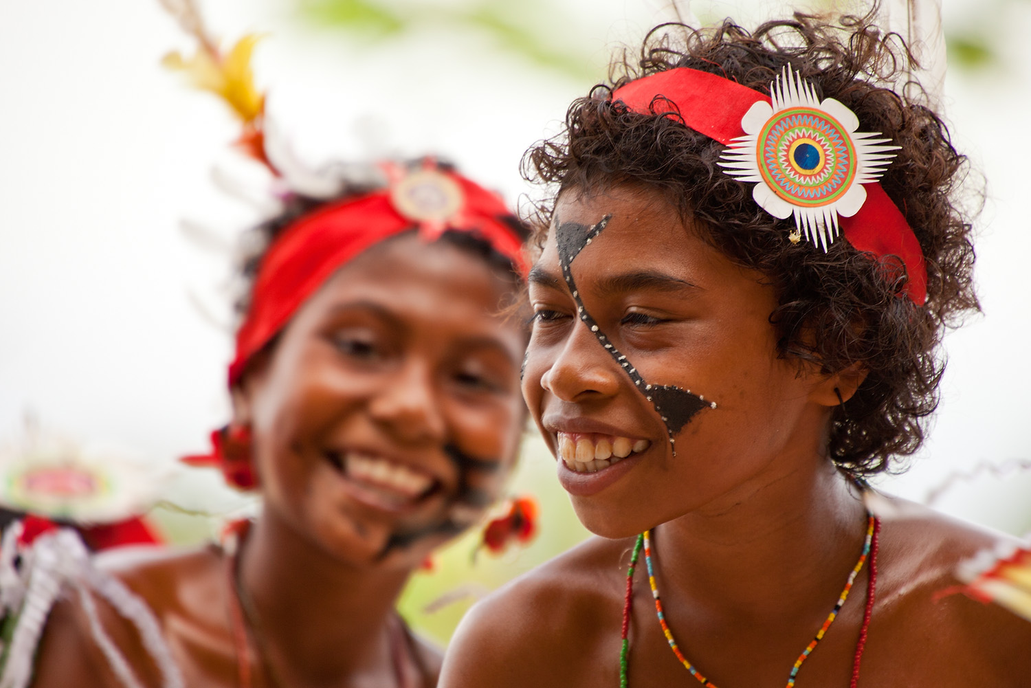
Intense colours of the costumesA number of young girls also took part in the welcome carrying their small woven baskets.
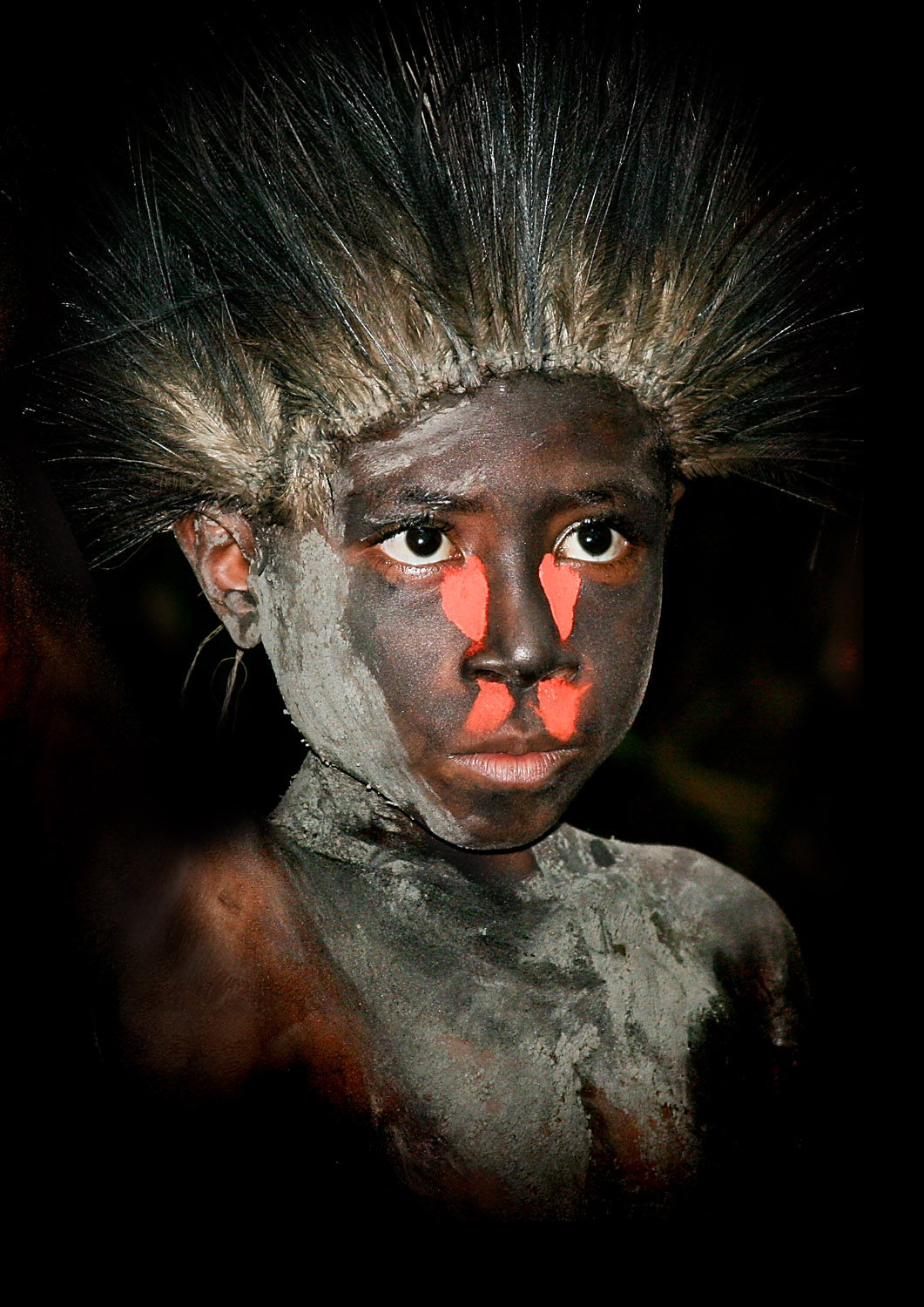
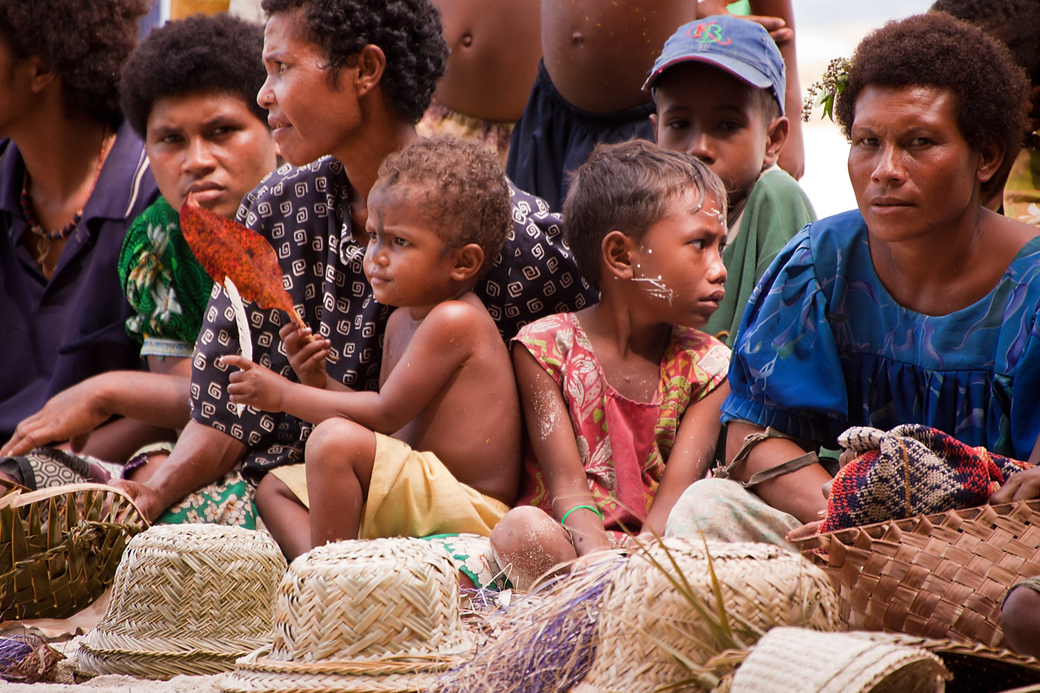
Young dancerWe weren’t the only ones interested in the dancing and there were a lot of villagers watching from the wings including this young one.
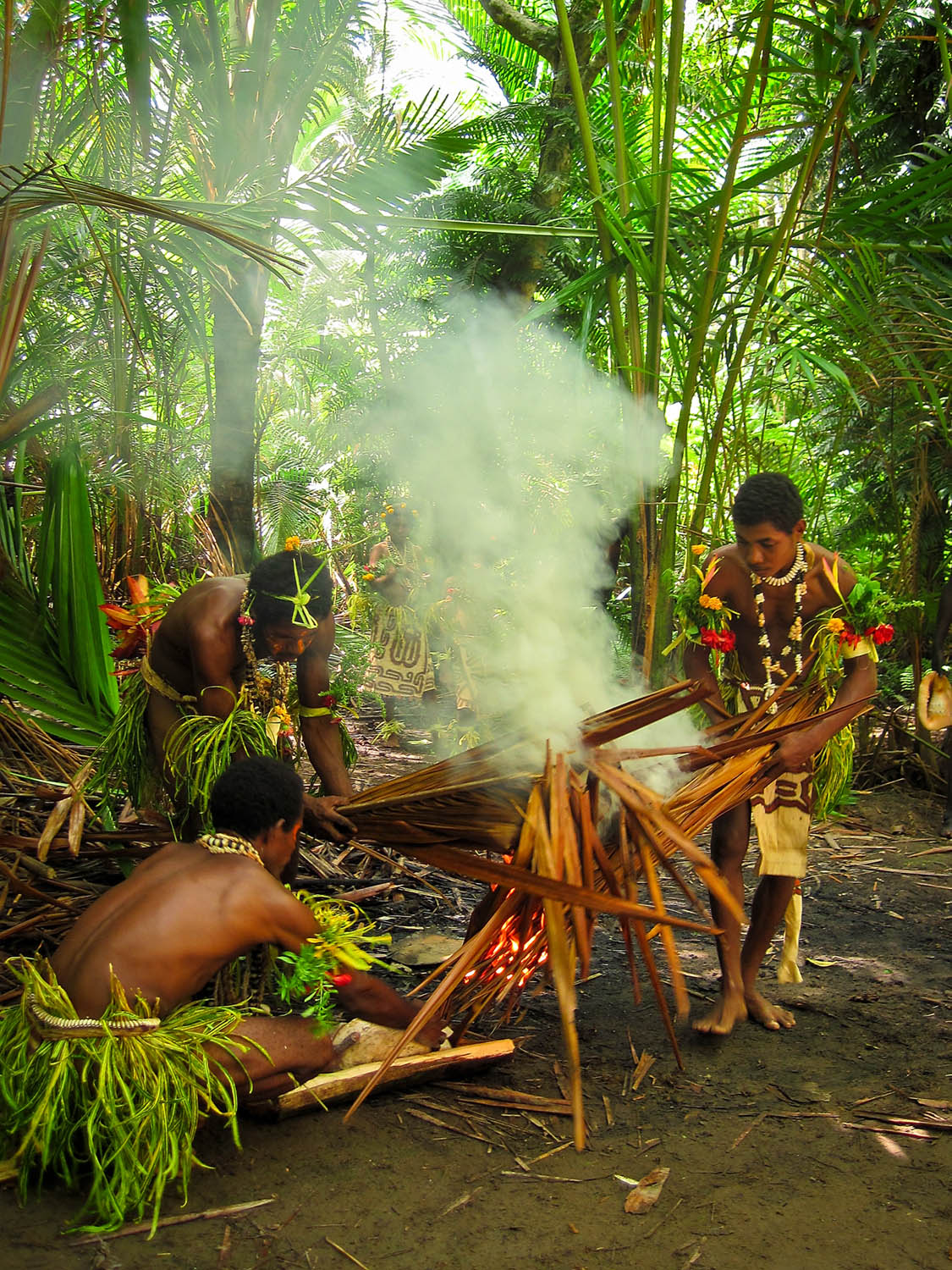
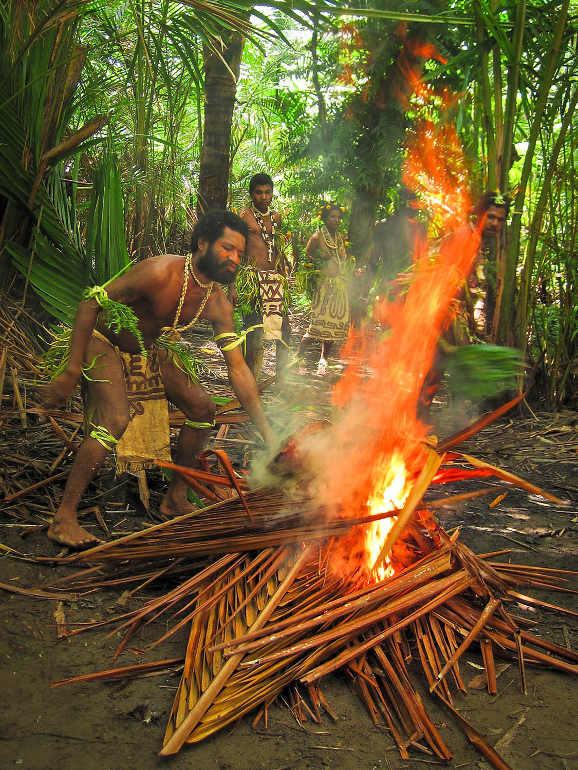
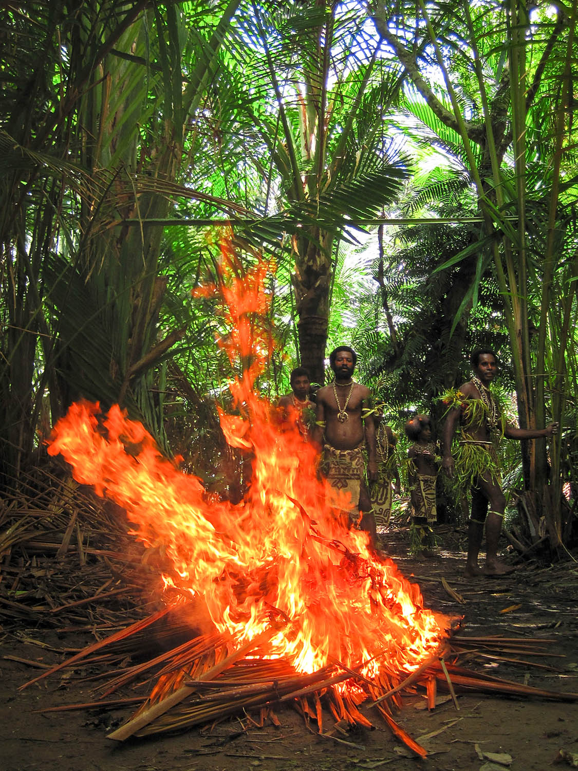
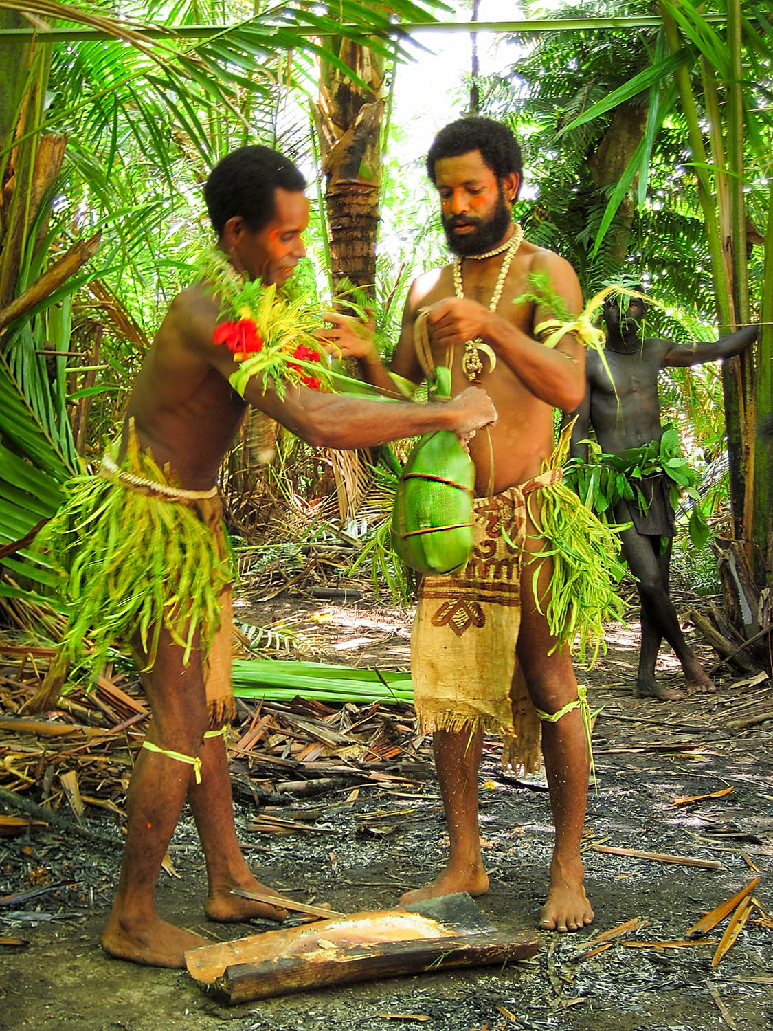
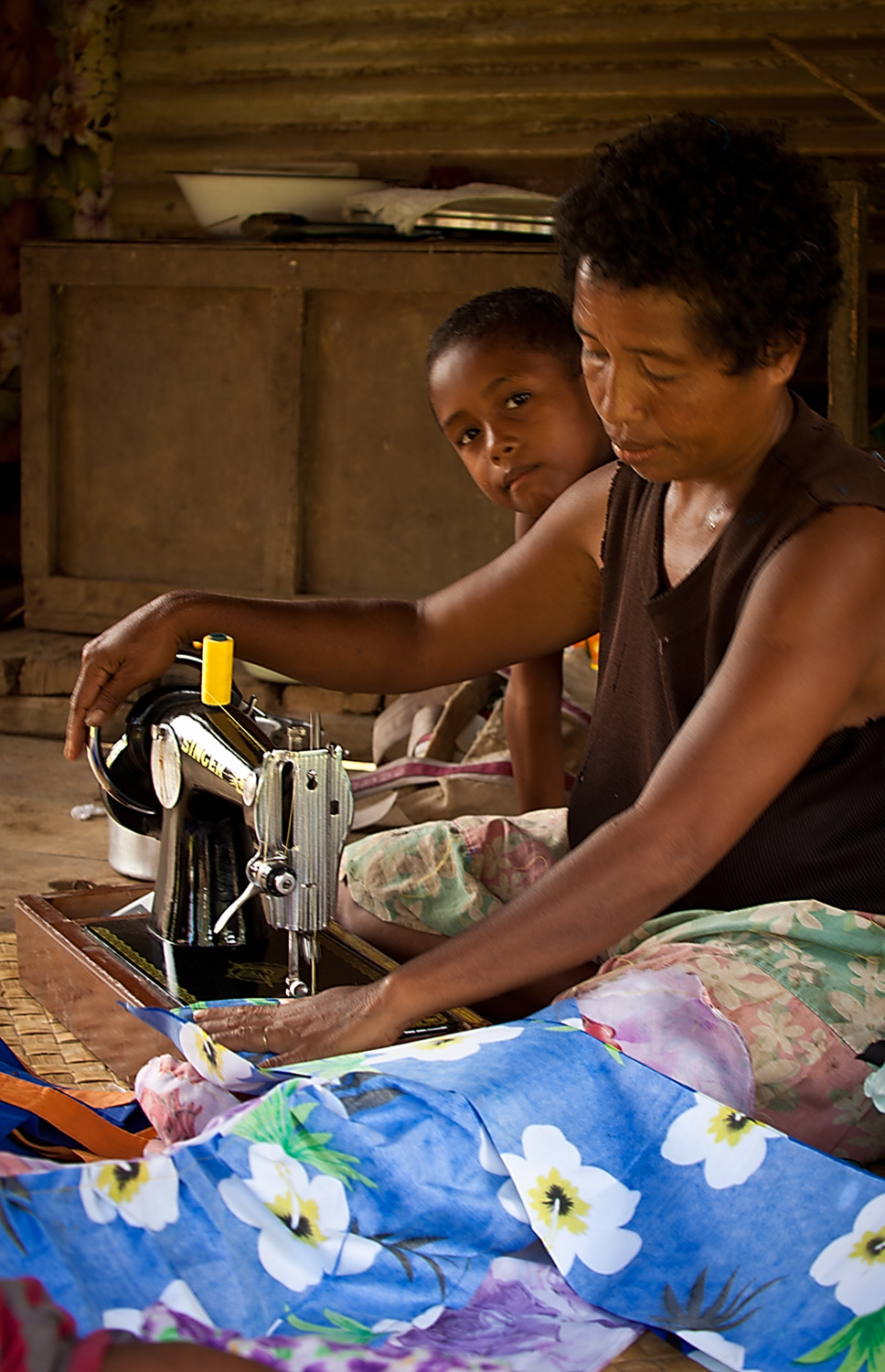
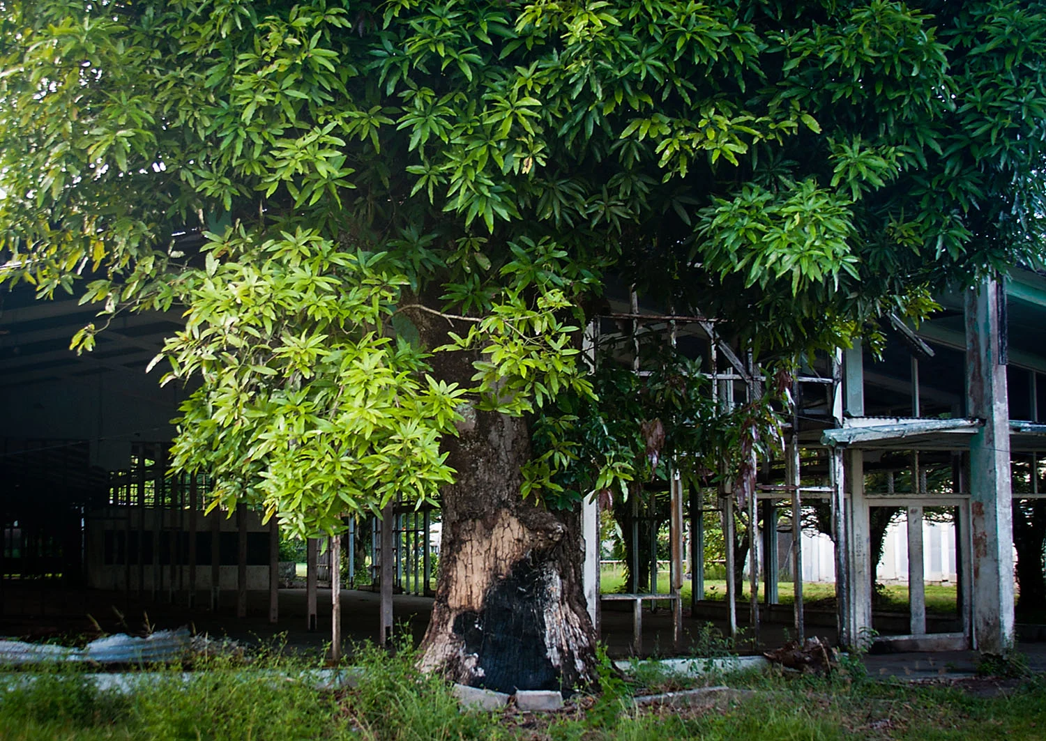
Young villager watching the performanceAfter the performance we had about an hour before we were due to leave so we left the performance area and headed back into the village. The village seemed to be built out of every imaginable type of material salvaged by the villagers. This results in a textural landscape of rusting metal, netting and palm fronds.
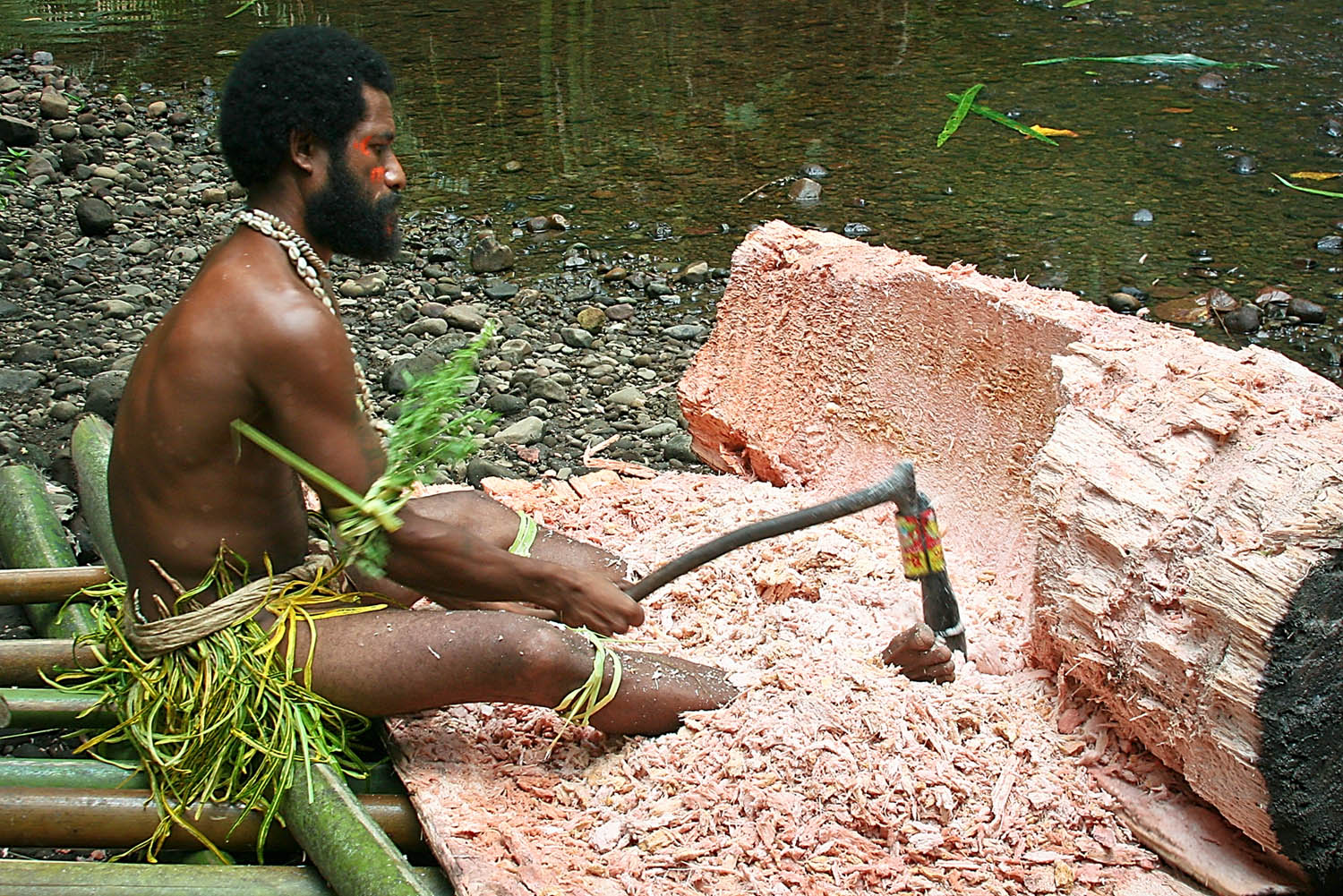
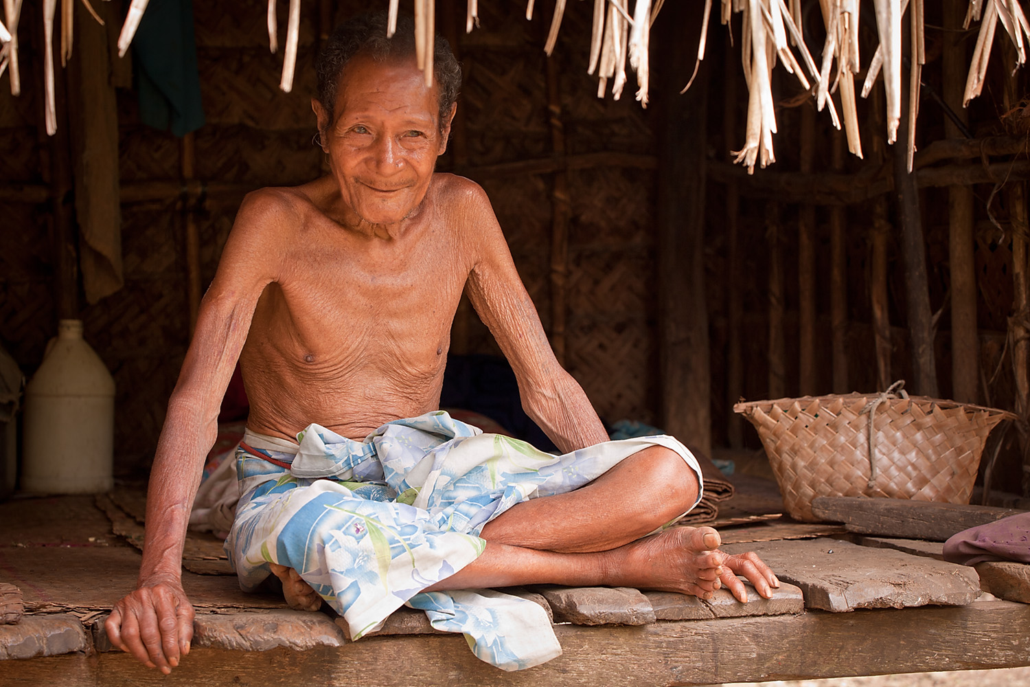
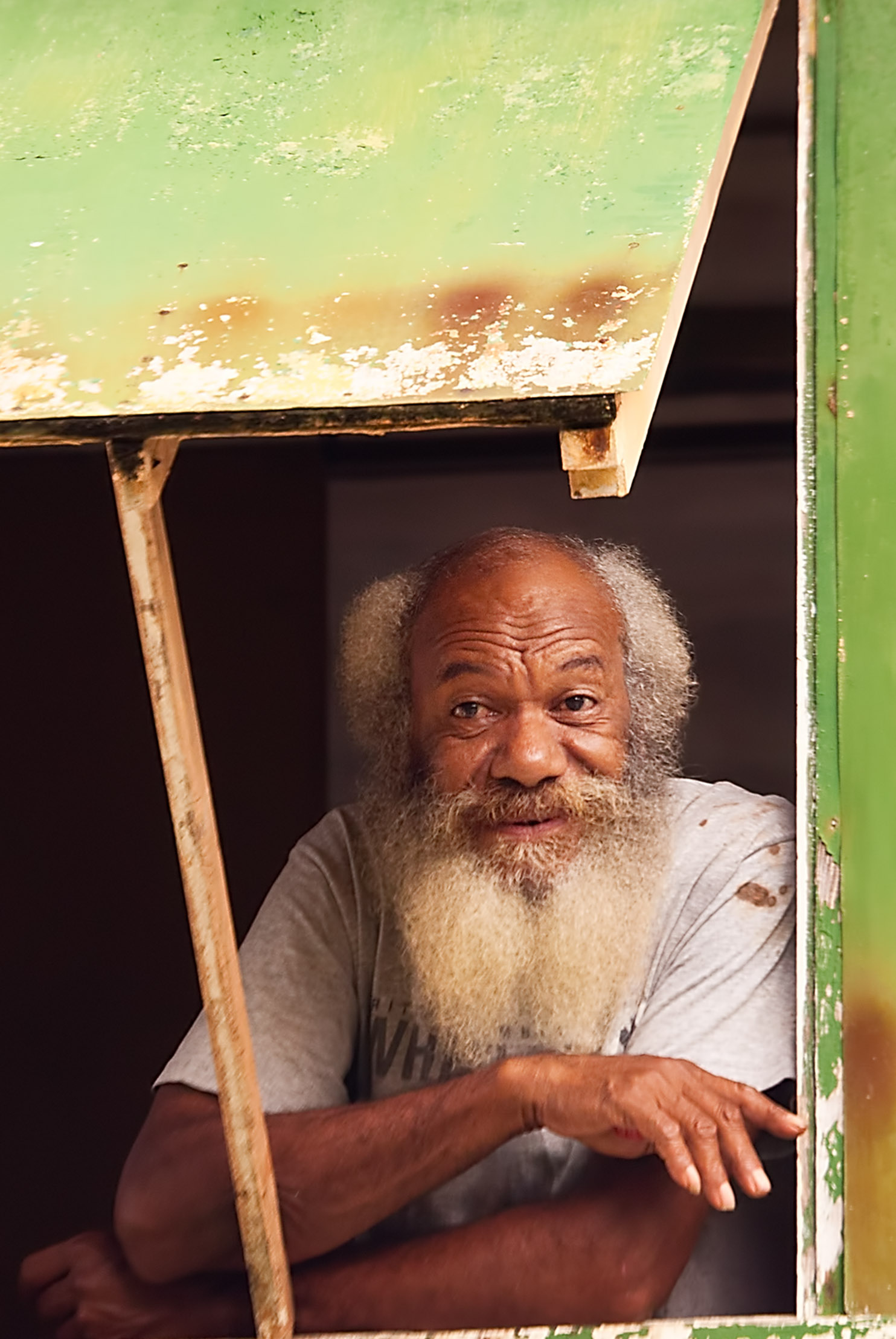
Building texturesWe were fortunate to be taken in hand by an elderly woman of the village who took it upon herself to be our guide. She took us on a private tour of the village, down past her house, showing us where she cooked, and through to the cemetery where her sister and brother were buried.
Our guide
The KitchenWhat we saw when walking into the cemetery was quite unexpected. There were quite a few graves and most of them were defined by simple wooden grave markers but what was unusual was that most of the graves were defined by upturned bottles pushed almost flat to the ground. She told me that the bottles had been left on the island after the war by the Australians and Americans.
Island graves
I found this lone grave marker and bottle in the roots of a large tree not far from the cemetery.
Isolated grave marker
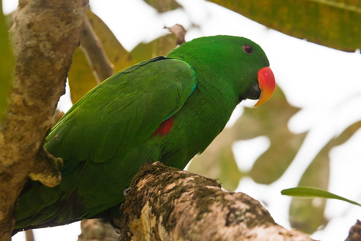
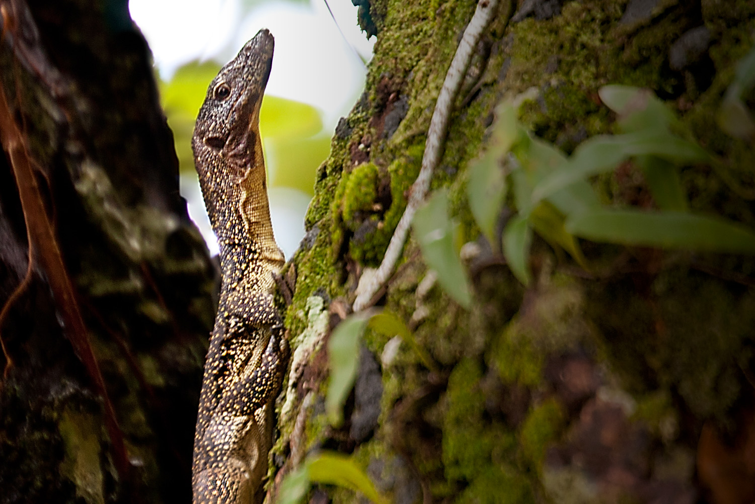
On the way back to the beach I spotted a lizard scrambling up the trunk of one of the large trees planted throughout the village.
Lizard (type unknown)
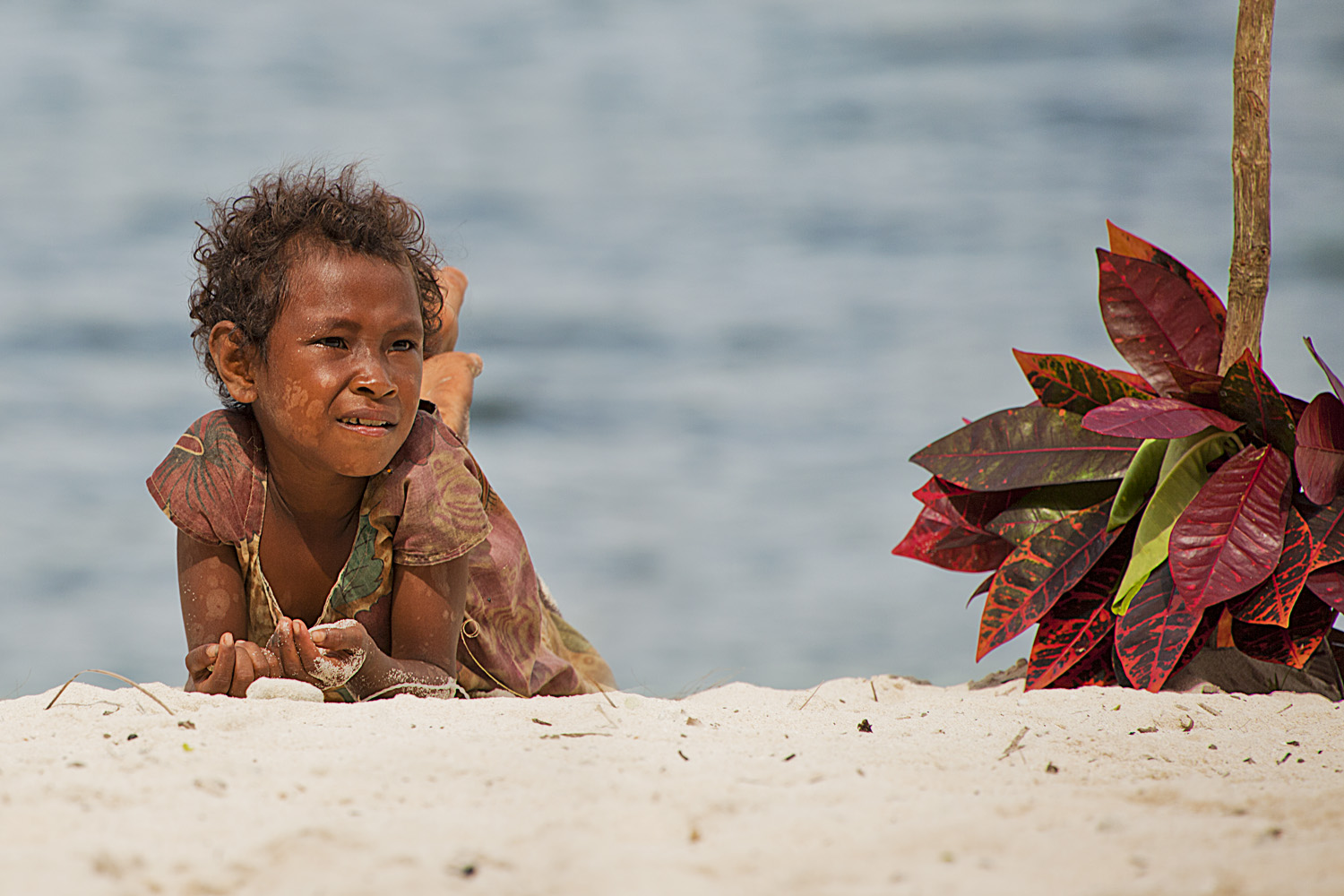
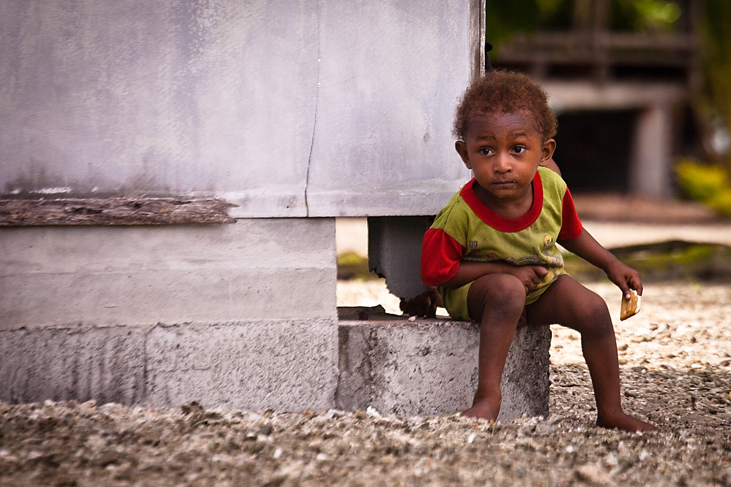
Young girl blowing bubbles
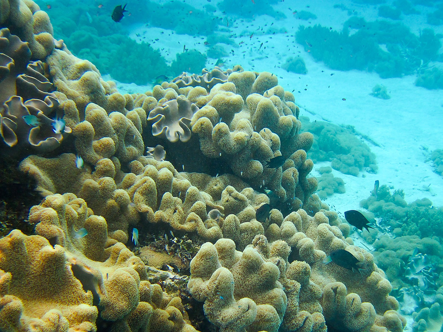
The Orion team has arranged a special treat a “sumptuous” beach BBQ lunch at the small coral cay not far from the island we are on. Before we head over there I want to head back to the Orion so we can pick up my Panorama gear so I can shoot a pano on the island and our snorkelling gear.
We hop into a zodiac and push off from the island for the trip to Orion. Just as we turn who should we see but Justin, in all his New Guinea finery, driving his own zodiac!Justin (the new zodiac driver)We arrive back at Orion, collect all our gear, slap on some sunscreen and are back on the Marina platform ready to board a zodiac for the beach bbq in under 15 minutes. We head out for the short trip to the island and we haven’t gone more than a few metres from Orion when all around the zodiac we can see dolphins tracking alongside just under the water. Suddenly they are leaping out of the water and zipping back and forward in front of the zodiac. What a sight. They swim along with us for quite a while until the water becomes too shallow for them.
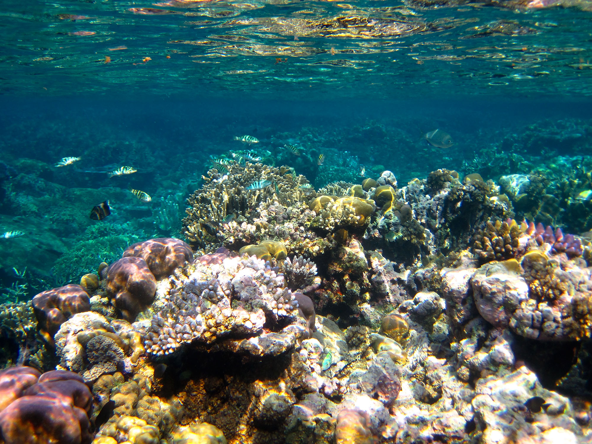
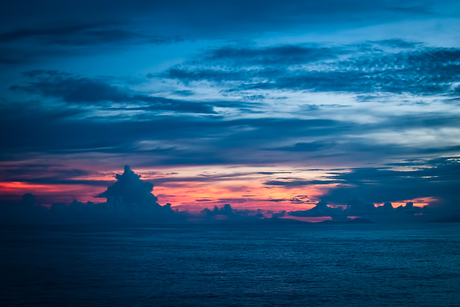
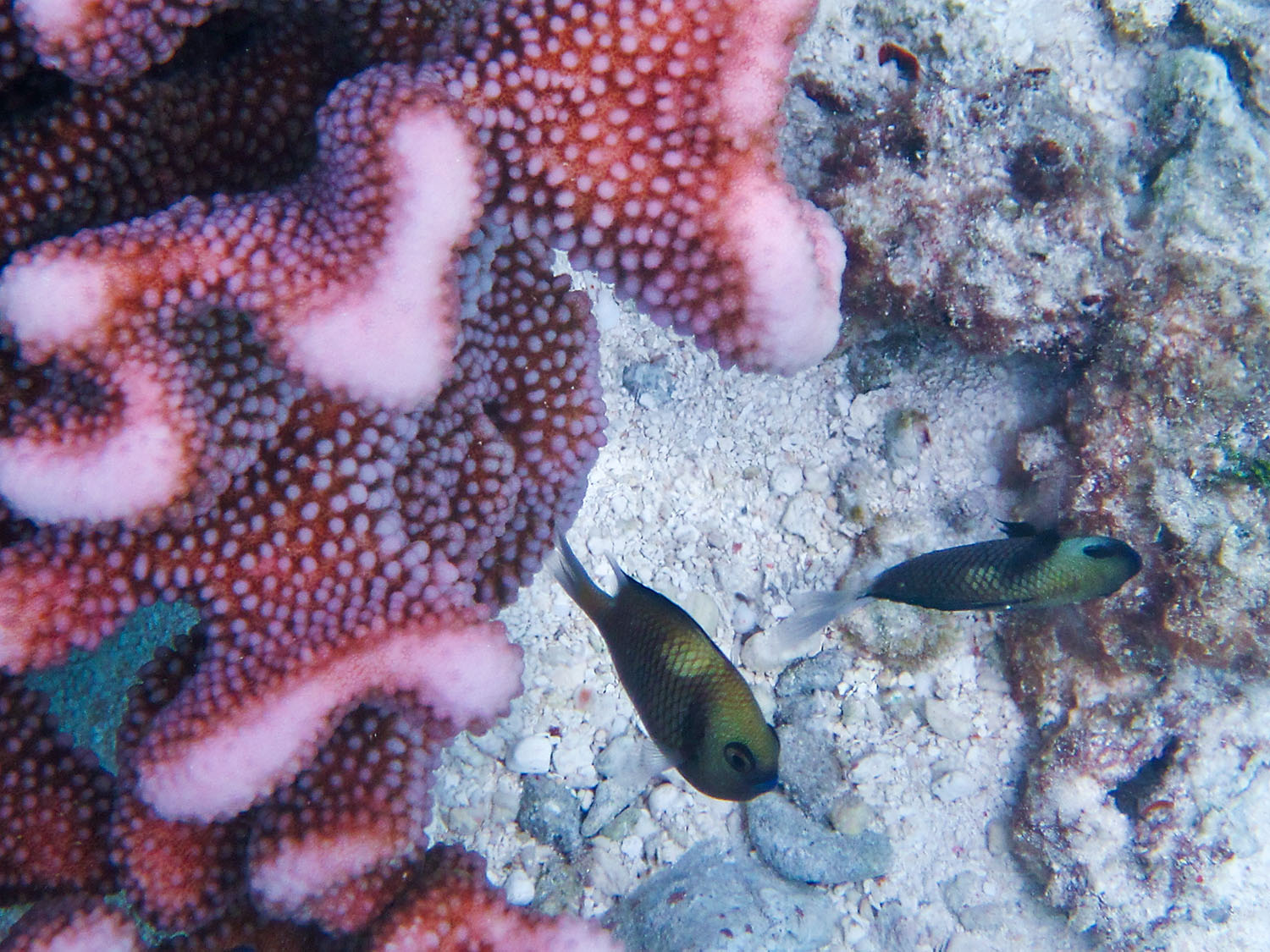
The ride into the cay is beautiful, the sky an iridescent blue and the water crystal clear. Because the reef is so high in the water we have to navigate through some buoys set up by the scouting team so our prop doesn’t hit the reef.
Riding the zodiac to the Coral Cay
The beach itself is tiny and leads you up to a rock wall that frames the whole beach. Just in front of the wall the guys from the restaurant have set up their beach bbq. They were right in calling it sumptuous, there are two canopies set up, one with a bbq and the other with salads and accompaniments. Strung along the wall there are strands of flowers and everyone is having a great time.
Orion Restaurant Team
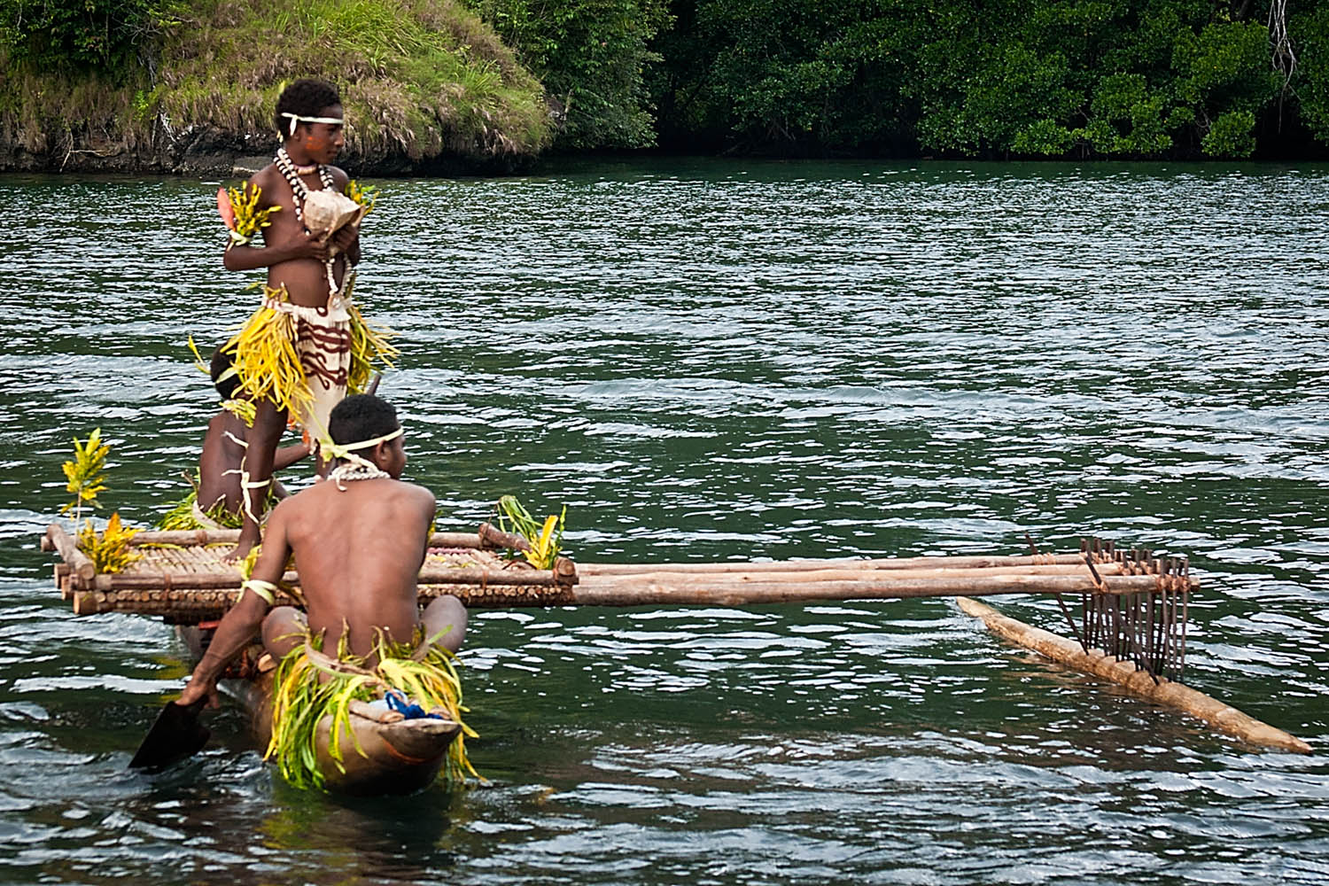
It’s almost 13:00 and the last zodiac is set to leave at 13:30 so Kelly and I head for the water to cool off. It’s quite shallow so we walk out quite a way into the channel. There’s a young boy in a dugout hanging out just around from the beach area where the bbq is set up and the view down the channel is beautiful. There is a lovely overhang at the end of the island with a palm tree perched right on the end.
Island SilhouetteWe spend the last few minutes just enjoying the beauty of the scene around us before heading back and catching, once again, the last zodiac back to Orion.
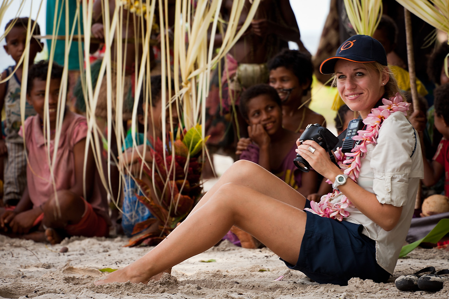
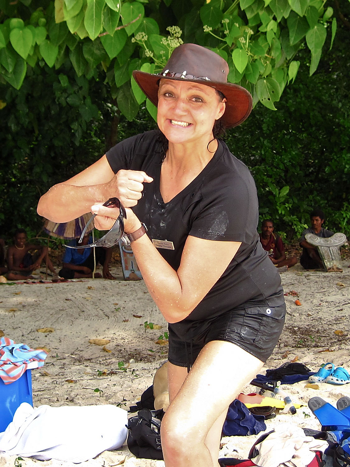
Kelly loving the momentBack on board we headed up to deck 6 to wash out our gear and spend a bit of time in the Jacuzzi. Once again it’s just the perfect thing to relax before our next event at 17:00 a lecture by Peter Eastway entitled on ‘Rock Hopper – Islands of the Southern Ocean”.Wow! what a fantastic presentation. Peter showed incredible images that reinforce the beauty of the Islands of the Southern Ocean. He showed us images of snow capped peaks, deep blue glaciers and minke whales. These images definitely show why Peter is one of Australia's leading landscape photographers. View all of the images on Peter’s website and if you are in Sydney between the 19th and 30th May make sure you head down to Gaffa Gallery to see his exhibition.
I walk out of Peter’s presentation really inspired to lift the values of my images, I’m so thrilled that both Peter and Nick are on this trip.
Kelly and I finish off the day with a bit of room service and another episode of Breaking Bad.